
GIS decision-support tools
Connect spatial evidence with the choices teams make.
Geospatial systems
GIS platforms and decision tools designed around planning, governance, and operational work.
A geospatial platform only works when people can trust the data, understand the map, and connect it to a real workflow.
Connect spatial evidence with the choices teams make.
Bring operational data and workflows into one working environment.
Make patterns, constraints, and change easier to read.
Support environmental, urban, and land use planning with shared evidence.
Join existing datasets, services, and systems without hiding their limits.
iGAT
iGAT combines GIS, management information, and shared workflows. It gives local governments a clearer view of place and a stronger base for coordinated work.
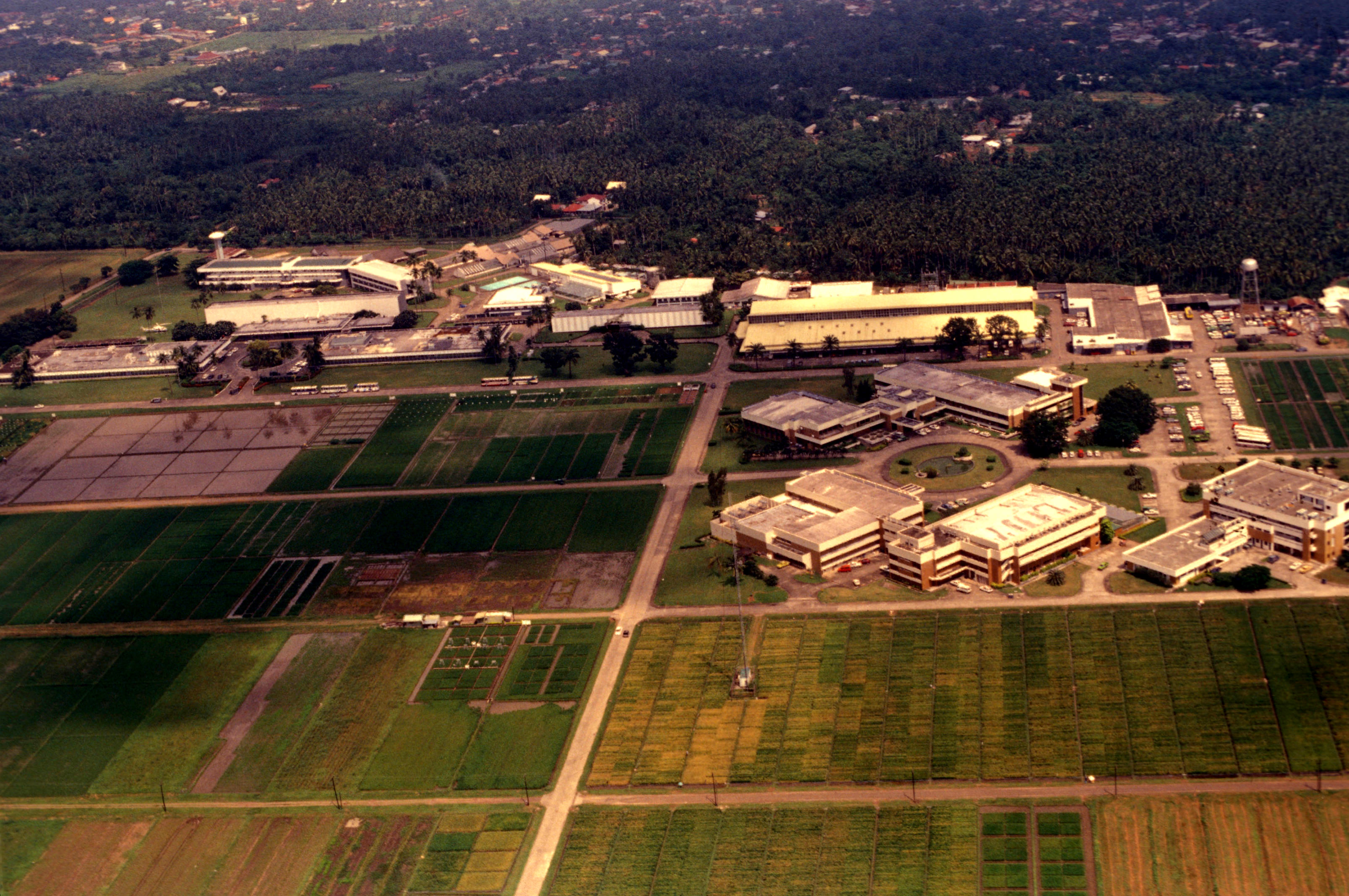

Land, water, infrastructure, agriculture, communities, and policy overlap. We build systems that let teams examine those relationships without flattening the context.
Tell us what your team needs to decide, build, or improve.
Contact Ezeris